With only a few weekends left here in New Zealand, I decided I had to make the most of our most one. This past weekend was Queen’s Birthday weekend, which meant our last week of school was cut short with monday holiday! Ryan, Tony, Bianca, and I made the most of this opportunity and booked a trip to Taupo, a town about five hours south of Auckland, home of the infamous Lake Taupo. We left about noon on Saturday morning eager for our roadtrip ahead. Fellow friends, Rachel and Gemma, were also making their way to Taupo, but by hitchhiking their entire way! And lo-and-behold as we passed through Matamata, we spotted those two, thumbs out hoping for a ride. We stopped for a quick hello and a sarcastic sorry we don’t have room and were on our way again. As we jammed to some tunes and conversed trying to pass the time, we spotted a BMW passing us with Rachel and Gemma in the backseat! With a little egging on, Ryan passed them again, and we played cat-and-mouse all the way to Taupo. Once in Taupo, by about five o’clock, we snapped some pics of the lake, and went out for some pizza at a takeaway restaurant called Hell, besides the name, everything else was delicious!
Serenity…

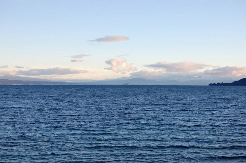
Pics in front of Lake Taupo!

Gemma, Me, Ryan, Rachel, Tony, & Bianca at Lake Taupo (Photo courtesy of Bianca)
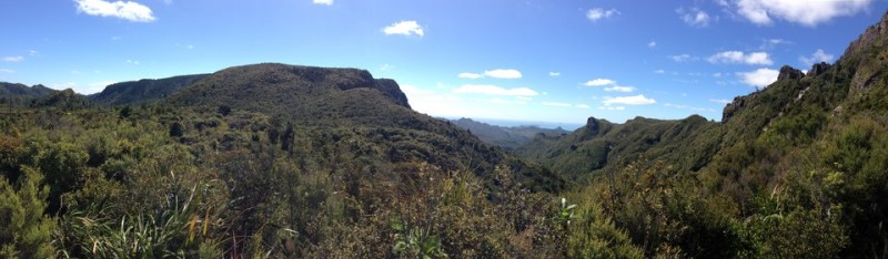
With not much else to see in Taupo, we parted ways, and headed another hour south to Tongariro National Park, New Zealand’s oldest national park, home to three active volcanos, Mount Tongariro, Mount Ngauruhoe (aka Mount Doom from Lord of the Rings), and Mount Ruapehu, which is also a ski area! The entire Tongariro Alpine Crossing is 19.4 kilometers and is considered one of NZ’s Great Walks. Just recently the entire crossing reopened, it was closed due to a volcanic eruption that occurred on November 12, 2012. We parked our car at the Mangatepopo Valley parking lot, and settled in. The boys pitched their tent nearby, while Bianca and I got to enjoy the luxury of sleeping in the car, which was surprisingly warm!
We awoke Sunday morning to a misty fog, we hoped would clear. By about 8:30AM we set off on our journey, bundled up in multiple layers, ready for any rain that would come our way. About 30 minutes into the track we were all sweating and decided to take off a bunch of our layers. After about an hour into the hike we reached Soda Springs, and having spotted some snow along the way, we decided to put on our layers again, and good thing we did!

Road to Soda Springs- the easy part!
The next leg, called Devil’s Staircase, brought us to the base of Mt. Ngauruhoe, however our intentions to climb the mountain were soon disregarded due to the fact that the misty fog was getting worse, the wind was picking up, and it was getting cold! The peaks of the mountain were not even visible, and considering the challenge ahead, we decided it wasn’t worth it.
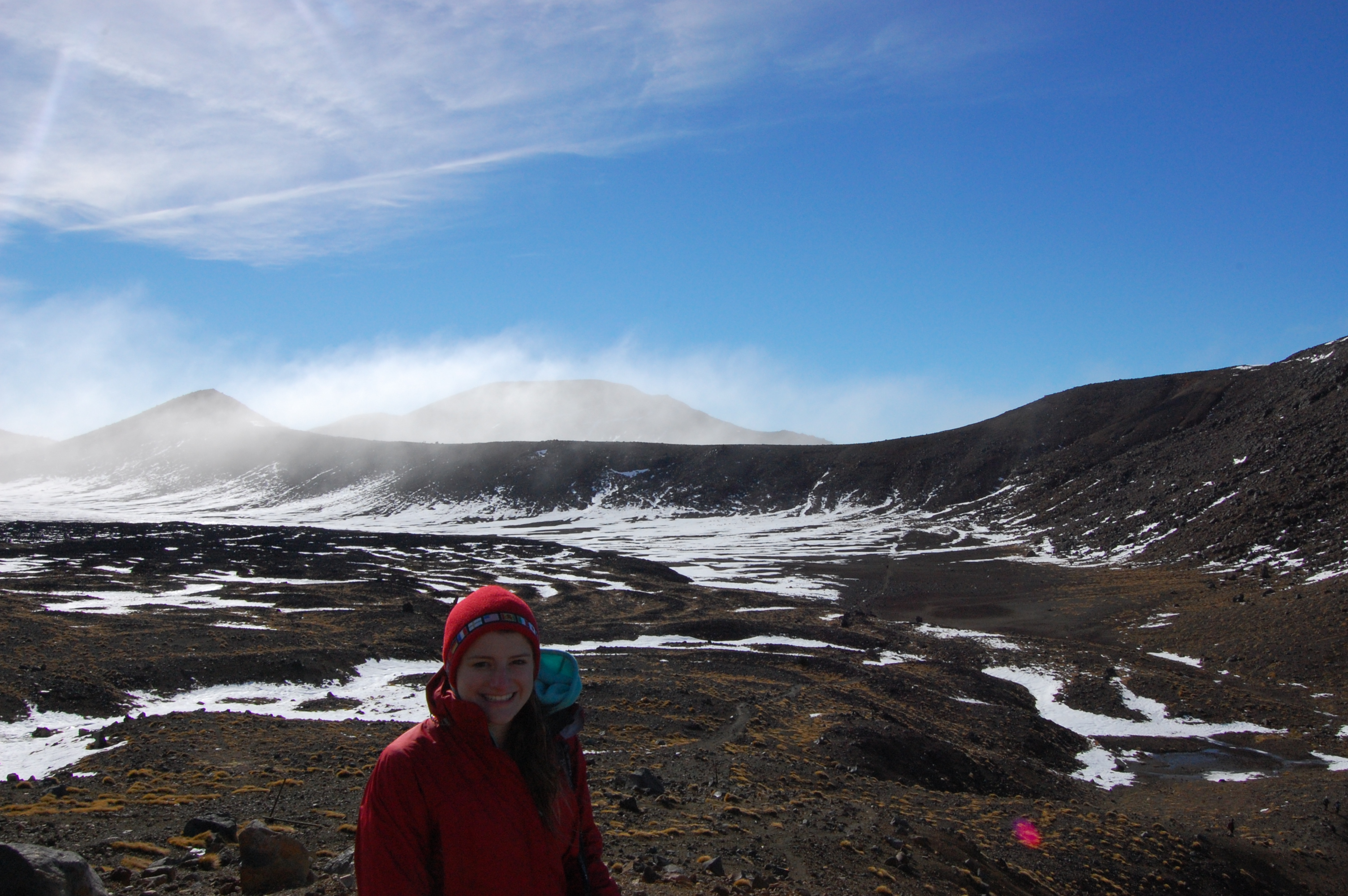
Onwards across the flats of South Crater, we reached an exposed ridge. This was the most challenging part. I felt like we were climbing Mount Everest! Severe fog, heavy mist, and at least 40 mph winds that felt like they could knock you over into the plummeting crater below. Numerous times we took shelter behind giant boulders, to shield ourselves from the blasting wind and rain, only to force ourselves up the snowy ridge to reach Emerald Lakes.
Finally we got over the ridge, up another steep hill, and to the Emerald Lakes. It was worth it! We managed to get a bit of blue sky and sunshine and ate our lunch by the lake.

Frozen Emerald Lake!

In front of the Emerald Lakes!
Freezing!!
As we began our climb back, unfortunately we couldn’t do the entire crossing because our car was parked at the other entrance, we traversed over loose gravel called scoria, that when you take one step forward you fall three steps back. The key is to take it slow with good footing to prevent yourself from sliding backwards.
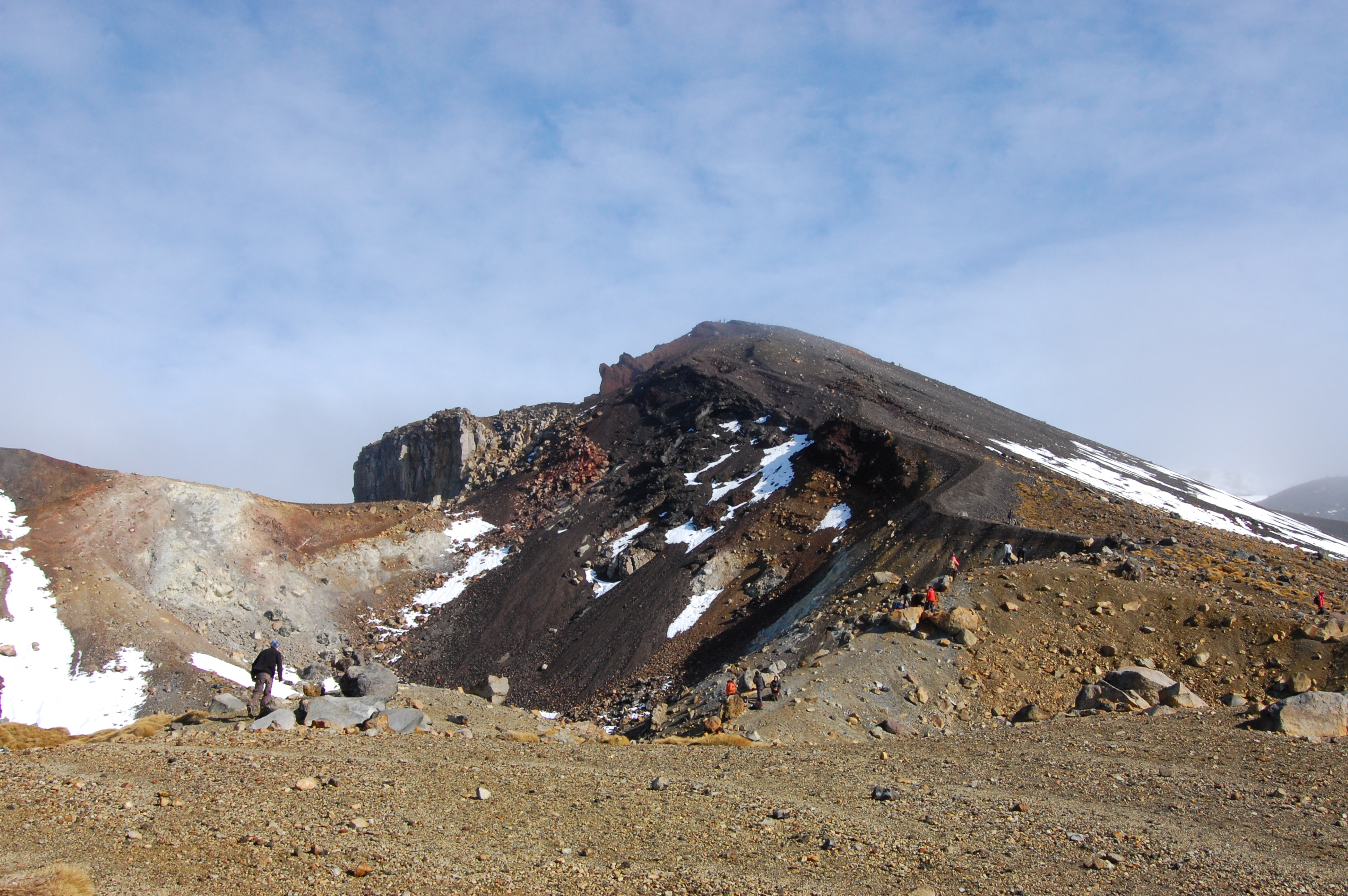
Beginning of our climb back up

There we are: Tony, Ryan & I (Photo courtesy of Bianca)

Managed to snap of picture of Blue Lake just in time! Look at the snow!
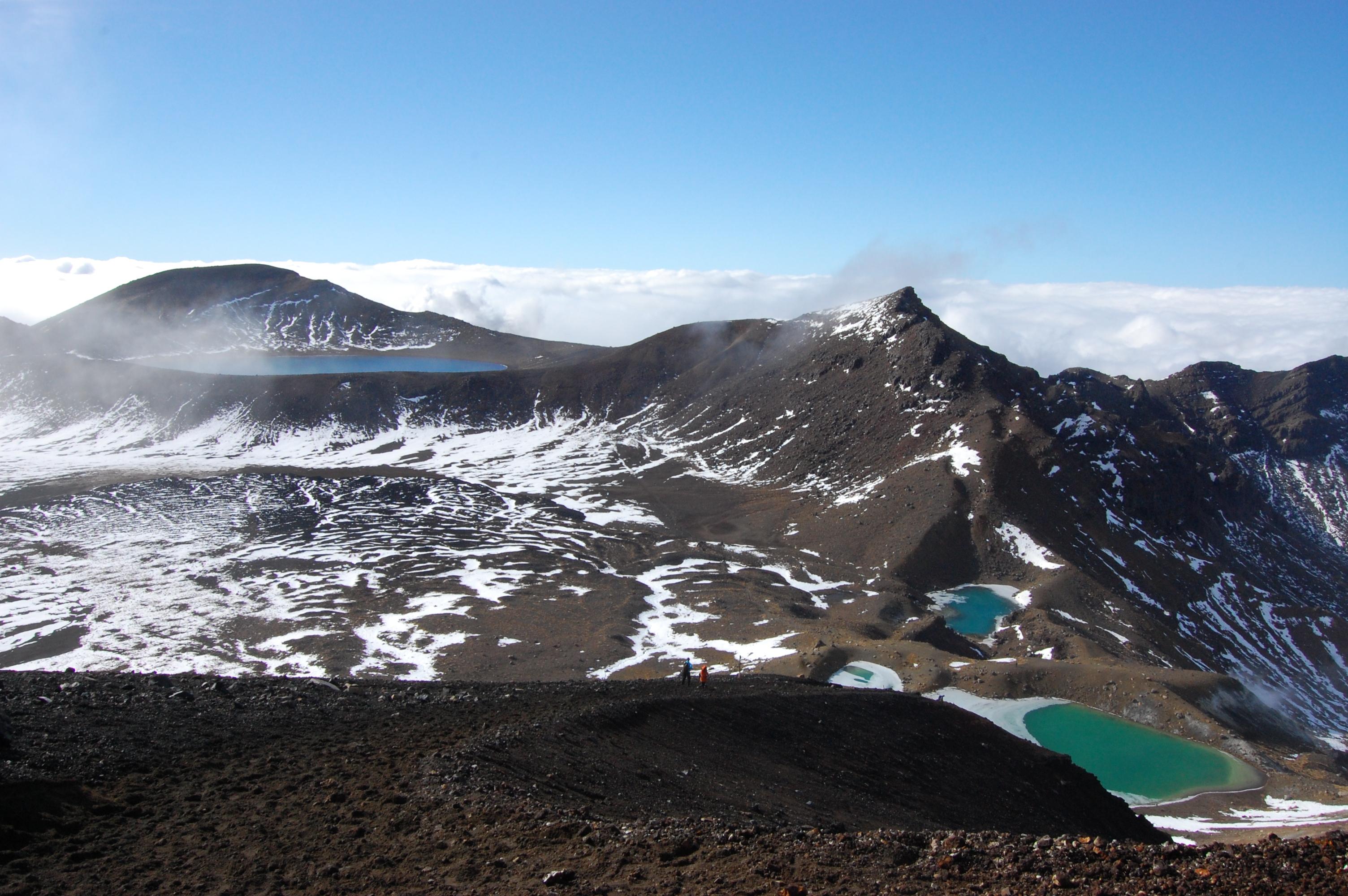
View of the Emerald Lakes & Blue Lake from the top
We made our way back across the ridge, slipping and sliding on the snow. I cannot tell you how many times Bianca fell, wearing only running sneakers she was regretting not having any hiking boots! Luckily we made it down, safe and sound, cold and soaking wet. I’m so glad I got to do the hike, although it would have been nice to go during the warmer months rather than NZ’s winter. Conditions were a bit harsh!!
I’m becoming an avid hiker here in NZ and have lots of plans for hikes once I get back east! I cannot believe I have so many trails and hikes literally in my backyard and don’t take advantage of them! If NZ has taught me anything, it’s to get outside and explore. If I’ll travel over five hours in a weekend here, why won’t I do that at home. Things are changing!!
All for now. Xo Lyssa

[…] Taupo & Mt. Tongariro (lyssagoodrich.wordpress.com) […]